Alpine Trail Map

Trail map updates reflect daily planned offering of the East side (Final Exam) and West side section, with info on known and unknown hazards. Enjoy… but know the risks involved! Meanwhile… there are still trail naming opportunities available… support your favorite local nonprofit community ski area today!.
Nordic Trail Map

Travel Map
Location: Intersection of US Hwy 14 & FS Road 244
59 miles west of Sheridan, Wyoming and 35 miles east of Greybull, Wyoming
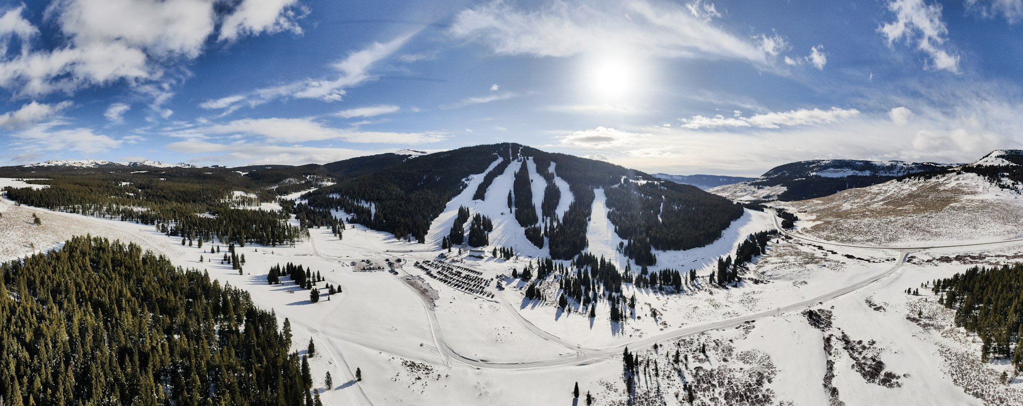
ANTELOPE BUTTE MOUNTAIN RECREATION AREA QUICK FACTS
Lift Accessed Summit: 9,400 feet
Hike-To Summit (not patrolled): 9,953 feet
Base: 8,400 feet
1,000 feet of lift-accessed vertical on our skiing & snowboarding terrain
Permitted area for recreation: 500 acres across from East to West
Lifts: 3 / Trails: 30+
Lodge: 11,400 square feet (open during the winter season)
Note: The alpine trail map shows both existing and proposed trails.
Proposed future trails are not included in the numbers above.


WYDOT recently installed a webcam at the entrance to the Antelope Butte Mountain Recreation Area which shows current road and snow conditions. Follow the link for additional images.